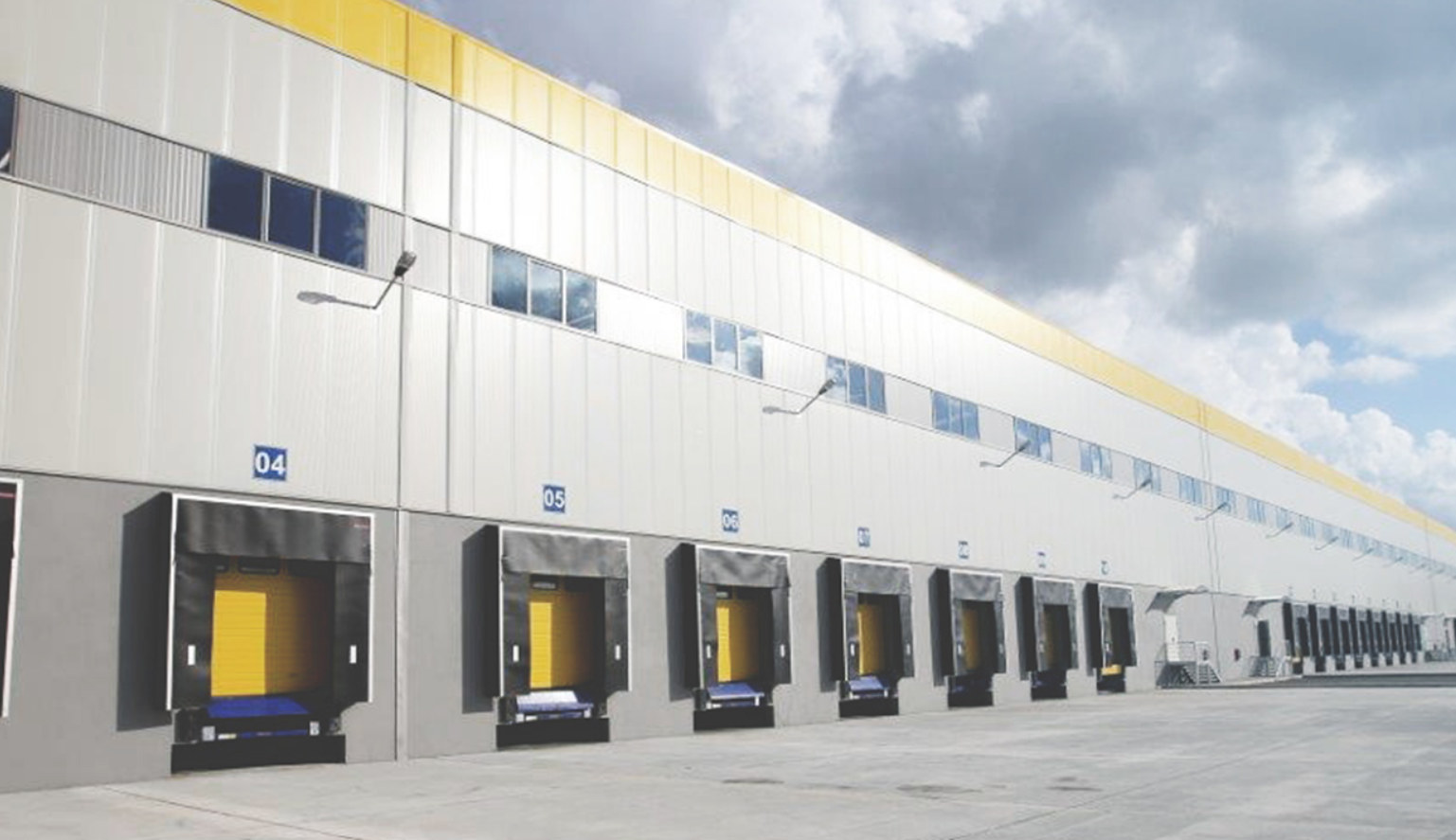
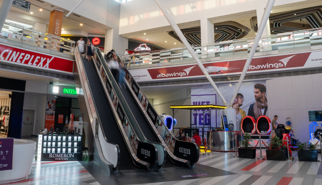
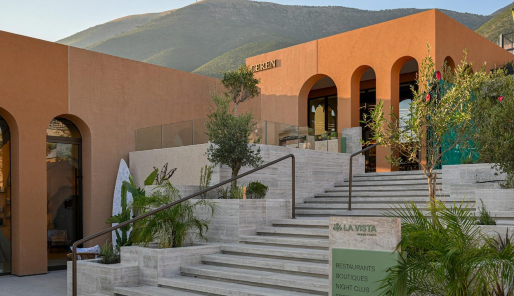
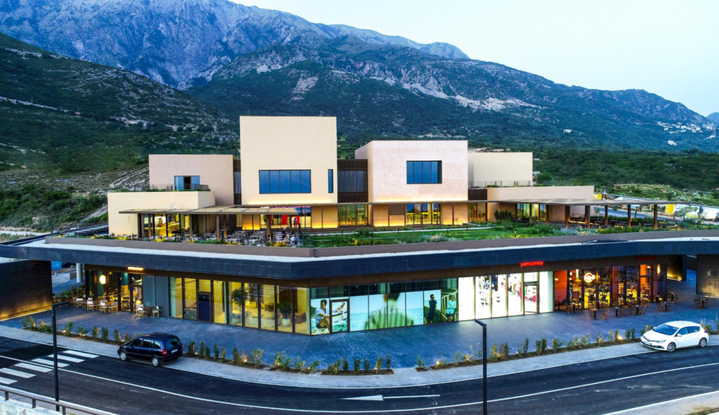
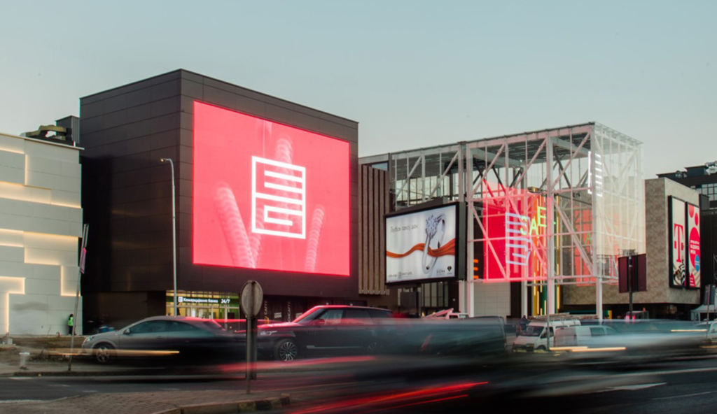
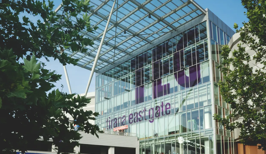
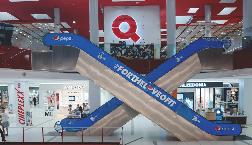
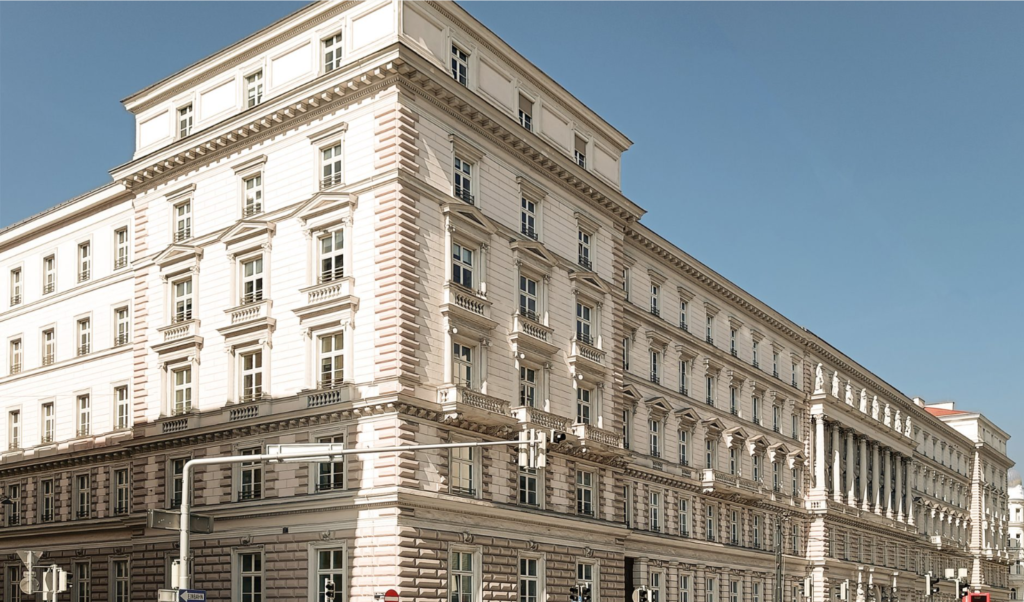
Balfin Construction (formerly known as Mane TCI), Company, part of the BALFIN Group, is a leader in construction and investment of development projects in Albania and the region. Founded in 2001, Balfin Construction is specialized in the field of civil and industrial construction such as: Shopping Centers, Residential Building, Social and Cultural Centers, industrial construction, and infrastructure.
BALFIN Group is one of the most successful investment groups in the Western Balkans. Established in 1993, the Group today operates across Austria, Albania, Kosovo, Bosnia and Herzegovina, Croatia, North Macedonia, Switzerland, Montenegro, the Netherlands, Canada, and the United States of America.
Its diversified portfolio spans multiple sectors, including banking, real estate development, wholesale and retail, asset management, tourism, logistics, education, and entertainment.
With a workforce of approximately 5,500 professionals, BALFIN Group continues to grow steadily, guided by strong business ethics, financial stability, innovation, and a long-term commitment to community impact through Mane Foundation.
Position: Senior Geodetic Engineer
Department: Technical
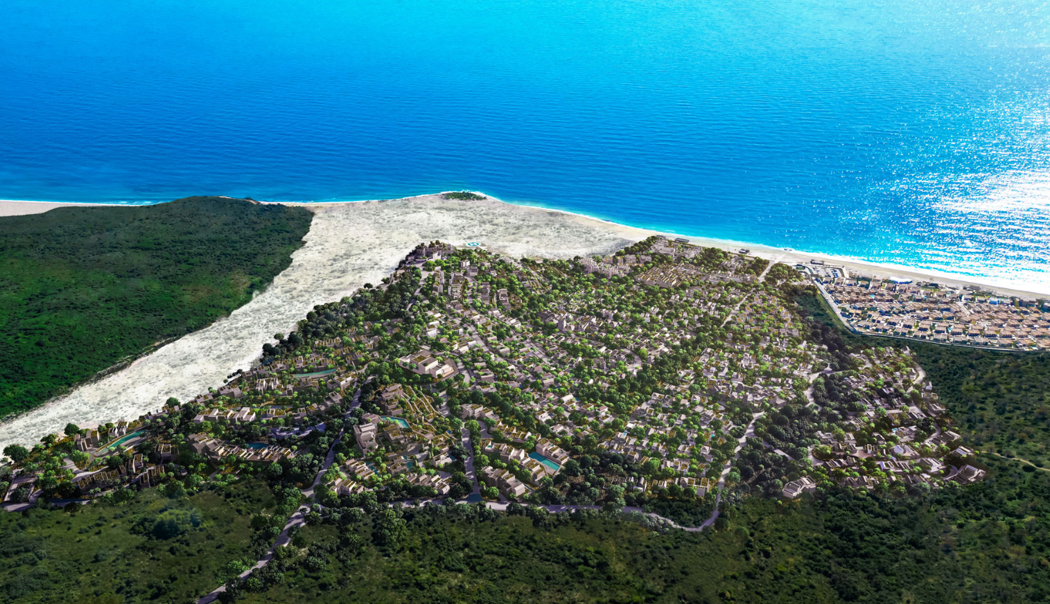
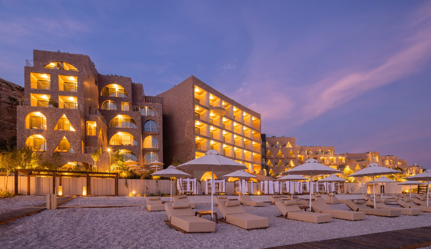
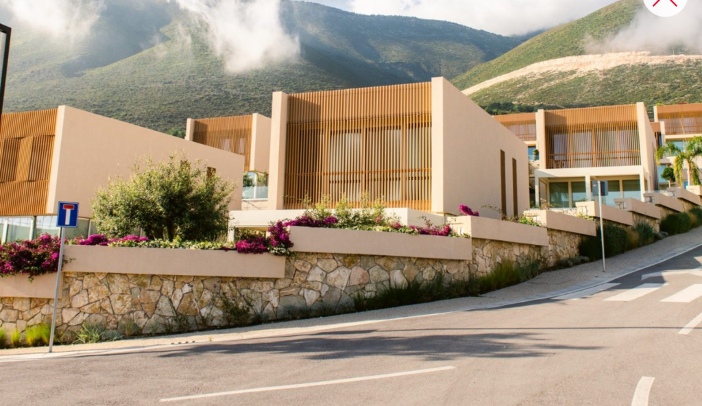
Location: Green Coast, Palasa
Job Summary: The Senior Geodetic Engineer leads geodetic surveying operations both in the field and in the office, ensuring the accurate collection, processing, and delivery of spatial data for construction, cadastral, and engineering projects. This role combines hands-on fieldwork with technical supervision of surveying teams, quality control, and coordination with the Engineering, GIS, and Design departments.
Main Duties and Responsibilities:
- Plans and carries out topographic surveys and setting-out activities on site, in accordance with project requirements.
- Operates and performs calibration of GNSS/RTK equipment and total stations.
- Reviews and verifies project documentation prior to the commencement of works and calculates preliminary excavation and filling volumes.
- Prepares technical documentation, including topographic maps, measurement records for excavation and filling works, monthly progress statements, and cross-sections.
- Ensures that all surveying activities and related documentation comply with national geodetic standards and the applicable coordinate reference systems.
- Supervises the work of junior surveyors in the field and plans their weekly activities.
- Coordinates with architects, engineers, and project managers to identify and clarify any potential ambiguities or discrepancies in project documentation.
- Ensures the proper maintenance and operational condition of surveying equipment.
- Prepares technical reports, As-Built drawings (reflecting the actual completed works), and the relevant technical and legal documentation.;
Education: Possess a university degree in Geodesy/ Geomatics.
Requirements:
- A minimum of 5 years of professional experience in geodetic surveying, including experience in leading and coordinating field teams.
- Strong practical skills in operating GNSS/RTK equipment and total stations.
- Advanced proficiency in AutoCAD Civil 3D and good knowledge of GIS systems.
- Good knowledge of national coordinate systems and geodetic datums.
- Well-developed analytical and problem-solving skills, with the ability to communicate and collaborate effectively with project teams.
- Knowledge and skills in programming and workflow automation using Python and AutoLISP will be considered an advantage.
- Strong decision-making skills, initiative, and a solution-oriented approach.
- Good communication and interpersonal skills, with the ability to work effectively as part of a team.
Application Procedure: All interested candidates can apply by submitting their CVs through the LINK within 23 November 2026.
*At the end of the process, only the selected candidates will be contacted by the Human Resources Department.
*All applications will be treated with strict confidentiality according to the law No. 9887 set by the Albanian Parliament for the “Protection of Personal Data“.